Static API: where to use static 2GIS maps
· One min read
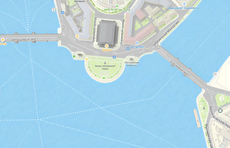
Static 2GIS map images for cases when you just need to display a picture of a map: a simple non-interactive map on a website, in a printed document, on smart devices with a screen but without JavaScript support or the ability to add an SDK, and in AI chatbots.
For more information about Static API features, see the documentation.
See how Static API works - right in your browser, no installation required.