2GIS Pro for CityLens
Use 2GIS Pro to visualize, and analyze captured data.
Getting started
-
Go to pro.urbi.ae.
-
Register using convenient method for you.
-
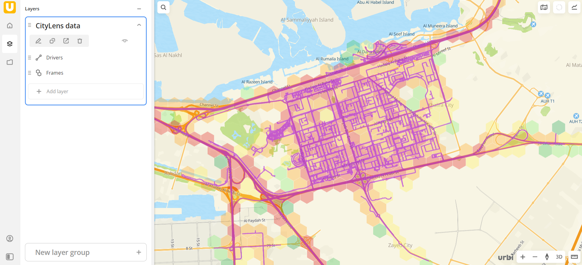
View CityLens data in special datasets.
-
Learn how to do basic operations in 2GIS Pro:
- how to create dashboards, scenes, layers, and widgets
- how to visualize data on the map
- how to configure map style
For more details, see the full 2GIS Pro documentation.
Data
2GIS Pro provides special categories to view data collected by CityLens:
- Frames to view frames (images bound to geographic coordinates) captured by drivers via the mobile application.
- Objects to view objects detected in frames on the map.
- Drivers to view information about drivers and completed routes.
- Tasks Planned Data to view planned routes on the map.
- Tasks Actual Data to view actual detours on the map.
You can also use basic 2GIS Pro data categories to enrich your analytics.