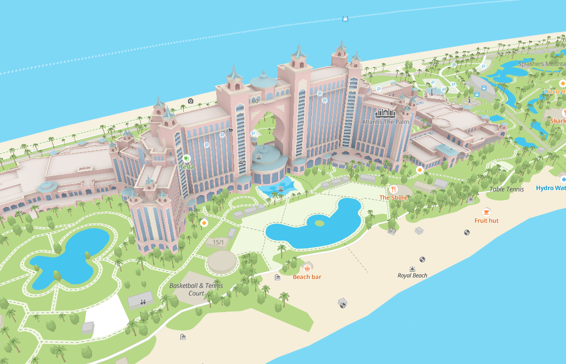
Immersive features
MapGL JS API allows you to make your maps immersive using 3D objects. You can add this effect using the following methods:
- Add multiple 3D models (for example, city sights) to the map.
- Add a detailed model of a building with floor plans and additional information using the mapgl-gltf plugin.
- Display terrain on the map by enabling hillshade or 3D terrain.
- Decorate the map with 3D trees.
- Configure unique lighting of the map along with colors of the sky and fog.
- Configure behavior of 3D objects when they intersect with the camera.
- Configure the map turning into the globe when you zoom out far enough.
- Display immersive road infrastructure.
- Configure graphics presets and enable or disable the display of immersive roads, shadows, fog, sky, globe, and 3D models.