Ruler
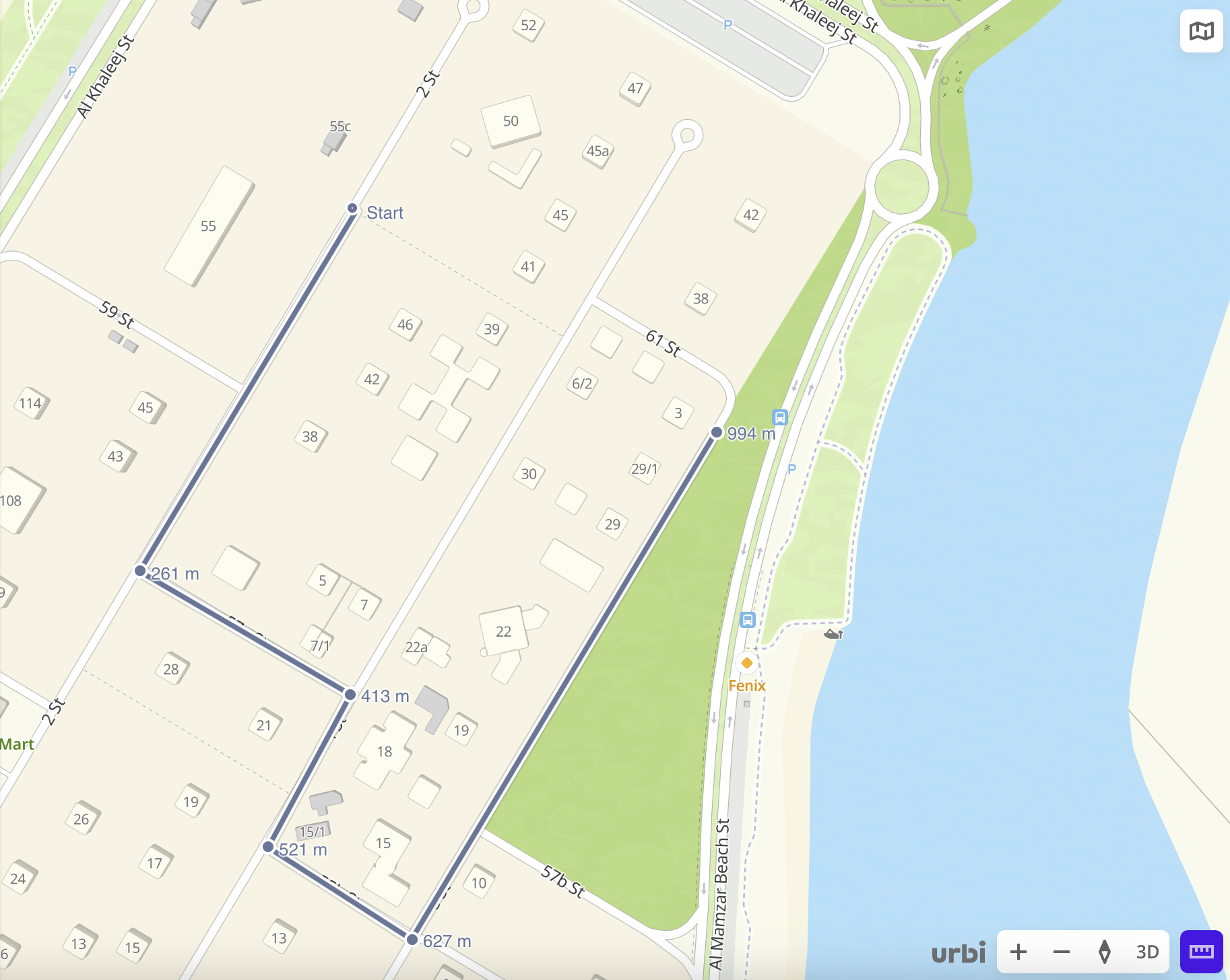
You can measure distance between points on the map using a built-in ruler.
-
To enable the ruler mode, click
 icon in the bottom-right corner of the map.
 -
To place the points, click the map.
You can build polylines with multiple points and add points to an already drawn line.
The distance from the starting point is displayed next to each point.
To remove a point:
- Hover over the required point.
- Click
 icon.
icon.
To erase all drawn lines and disable the ruler mode, click ![]() icon.
icon.
What's next?
- Getting started.
- Get to know how to work with Data and Data visualization.
- Learn more about Layers, Dashboards, Scenes, and Widgets.
- Learn about ready-made Analytics scenarios.